
The wiki for wilderness trails
A growing reference. Most trails are still catalogue stubs. A figure is Verified, Reported, provisional, or Unverified — the same labels as how we verify. A missing number stays missing.
Fact tiers
Counts of the five numeric facts on each record: distance, ascent, descent, high point, and low point. A withheld figure is not counted in a tier.
- Verified
- 1
- Reported
- 2,359
- Computed
- 8,935
- Estimated
- 28
These are fact counts, not a record total. Computed is a DEM sample or a pin-to-pin derivation. Estimated is an internal round figure. 697 figures are withheld and not published. How we verify
What this is
How a trail record is built
Figures with sources
Distance, elevation, and grade can carry a source and a last-verified date. If we do not know a number, it stays unknown.
Logistics other apps skip
Water availability, permit warnings, and whether you can reach the trailhead without a car sit on the record.
Coverage outside the usual map
The desk prioritizes Asia, the Global South, South America, Eastern Europe, and the Balkans, plus long-distance walking.
One grade, two scales
Every trail shows SAC, YDS, and a plain-language label together. We do not publish a bare “moderate”.
From the desk
Records, not track dumps
A catalogue stub is a tail entry, a pin, or a line with no stored length. How we verify
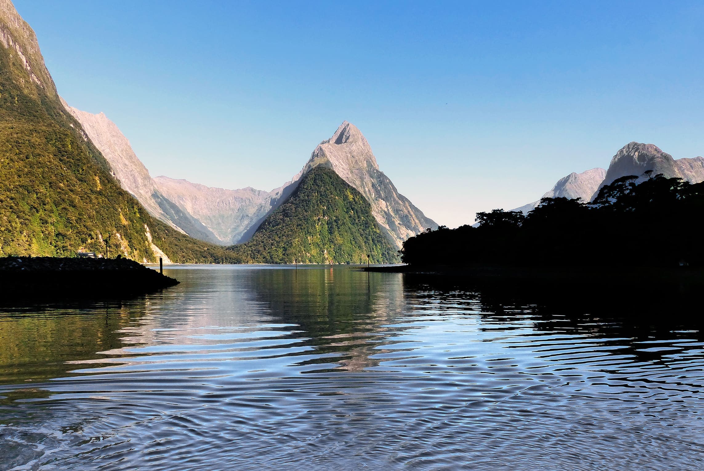
Fiordland
Milford Track
Milford Track, Fiordland, Glade Wharf to Sandfly Point. DOC trail length is 53.5 km (Milford Track Guide, brochure R214045). Reported OSM geometry is 53.6 km. Vertical figures sampled from Copernicus GLO-30.
Distance 53.5 km Verified · Ascent Computed · High point Computed · 4d · SAC T2
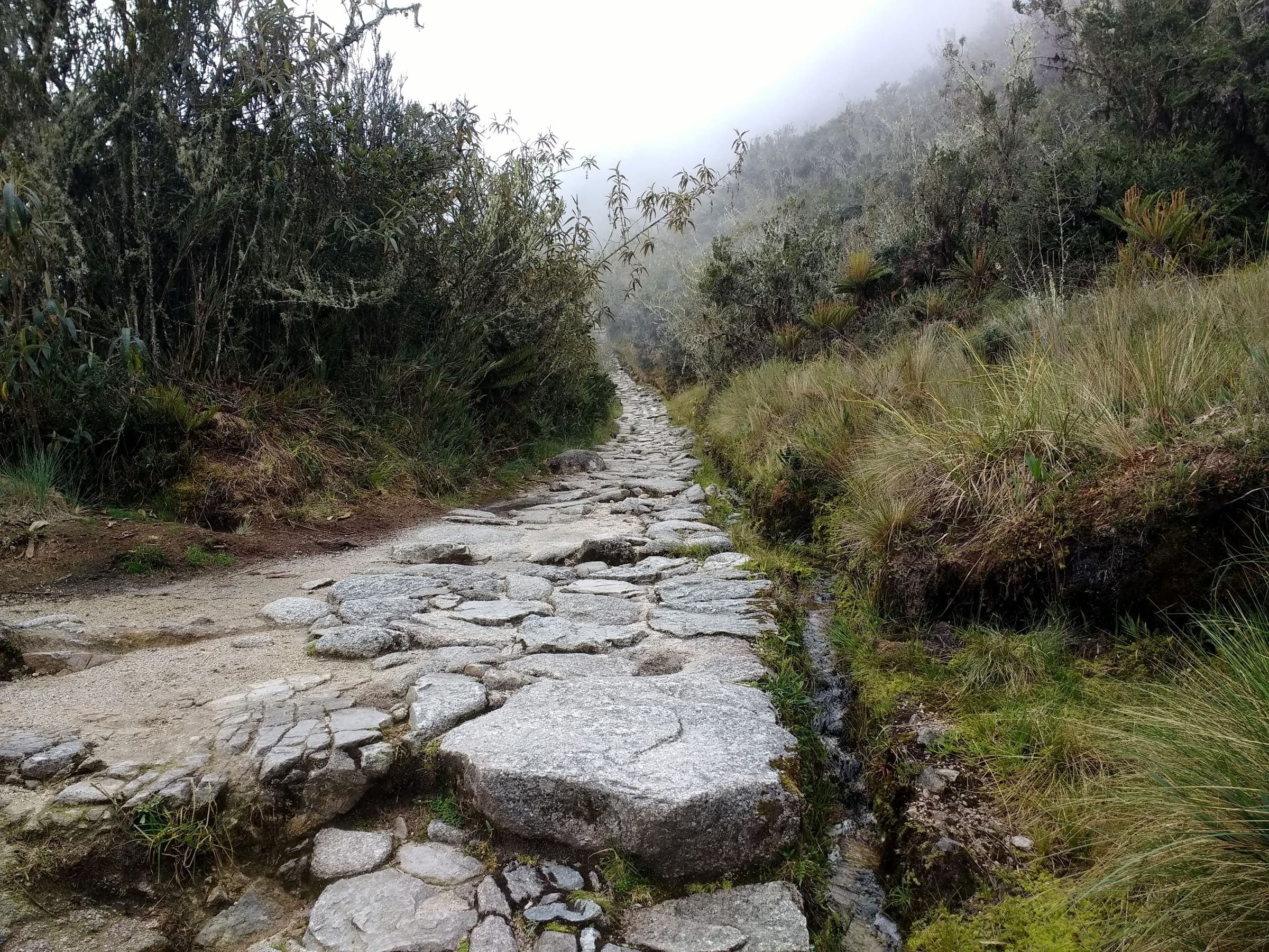
Cusco
Inca Trail (Classic 4-day)
Classic Inca Trail, OSM relation 15703494 (not Qhapaq Ñan, not Salkantay). Government permit with a hard daily quota: 500 people/day including guides and porters, licensed operator only, no independent trekking, closed every February. Published OSM line 38.29 km, DEM high 4,201 m.
Distance 38.29 km Reported · Ascent Computed · High point Computed · 4d · SAC T3
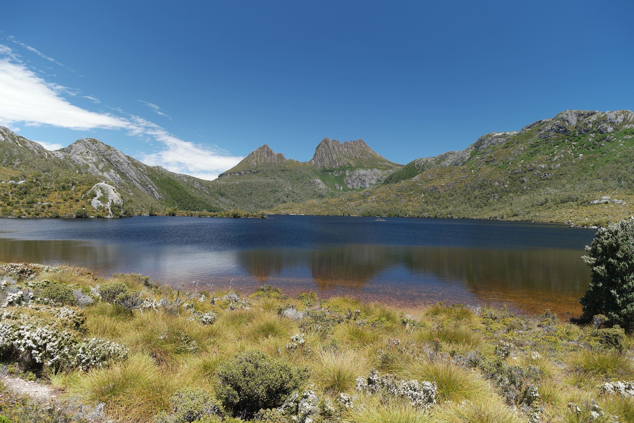
Tasmania
Overland Track
OSM hiking route in Cradle Mountain–Lake St Clair National Park, Tasmania (77.6 km line). Vertical figures sampled from Copernicus GLO-30.
Distance 77.6 km Reported · Ascent not published · High point Computed · 6d · SAC T2
Where we have records
Coverage by country and subregion
Southern Asia · India
Maharashtra
Western Ghats / Sahyadri — Wave I-4 plus Wave I-6 fort records. Marquee forts (Rajgad through Tringalwadi), the Group B long tail, and three connector traverses (Sinhagad–Rajgad, Katraj–Sinhagad, Rajgad–Torna). Peb, Kamalgad, and Mohangad keep related alternate OSM lines, not merged. Not the Deccan Plateau Telangana desk.
76 records
Southern Asia · India
Uttarakhand
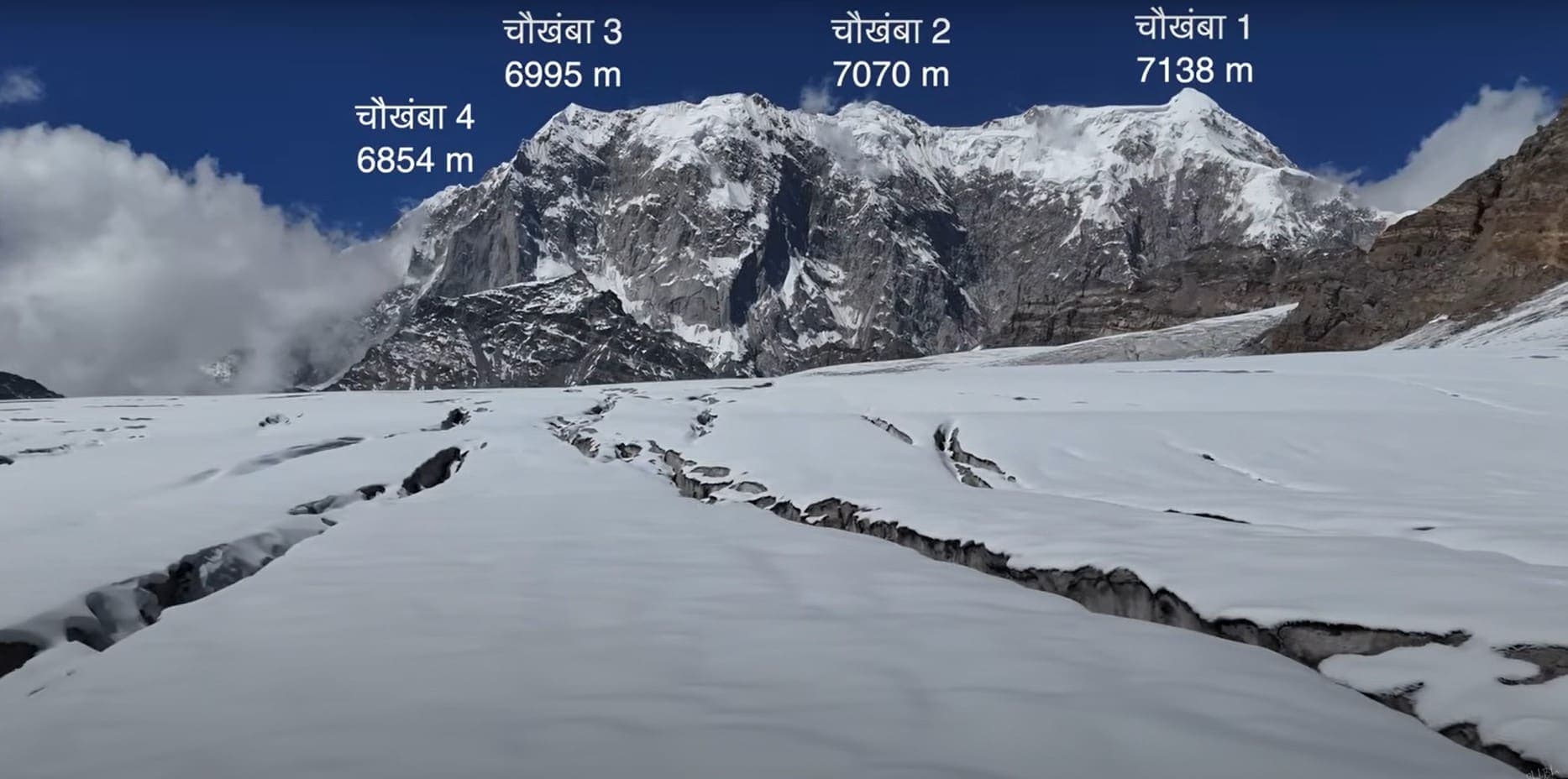
Garhwal Himalaya — twelve Wave I-1 marquee records. Valley of Flowers and Hemkund Sahib share the Govindghat–Ghangaria stem and stay related, not merged. Kedarkantha, Gaumukh–Tapovan, Milam Glacier, Bali Pass, Roopkund, Pindari Glacier, Tungnath–Chandrashila, Dayara Bugyal, Brahmatal, and Khatling Glacier are separate pages.
25 records
Southern Asia · India
Himachal Pradesh
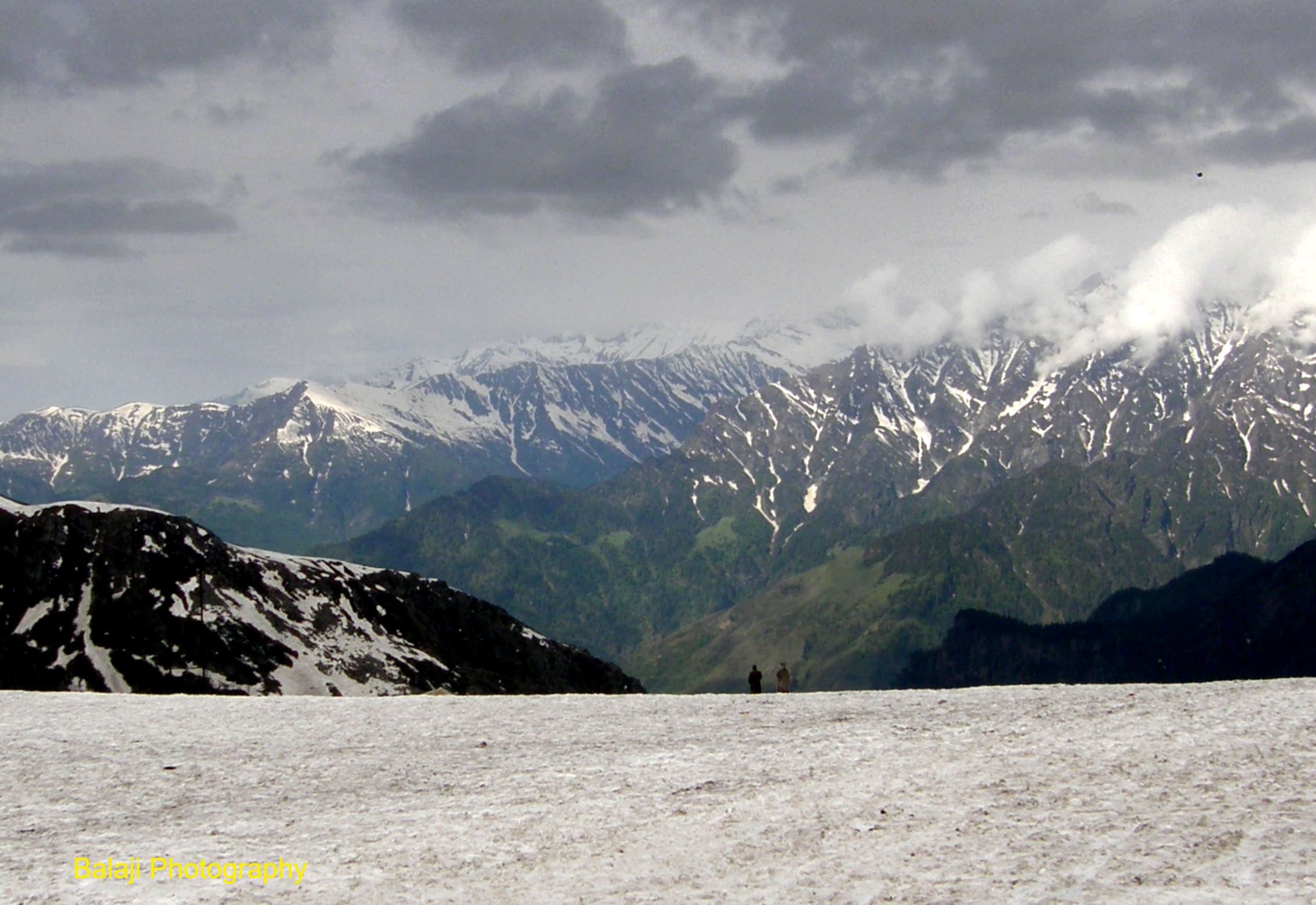
Western Himalaya — sixteen Wave I-2 marquee records plus eight provisional-listed traverses. Hampta Pass, Bhrigu Lake, Sar Pass, Rupin Pass (cross-state from Dhaula, Uttarakhand, filed here), Buran Ghati, Indrahar Pass, Chandrakhani Pass, Prashar Lake, Pin–Bhabha Pass, Pin Parvati Pass, Shrikhand Mahadev, Beas Kund, Kheerganga, Deo Tibba Base Camp, Triund, and Kareri Lake. Traverses: Kang La Trail, Larsa Way, Chandra Tal to Baralacha La, Kaliheni Pass, Lalung to Sarchu, Chaurasi Pass, Phangchi Galu, and Saluni to Baleesa.
24 records
Southern Asia · Nepal
Annapurna
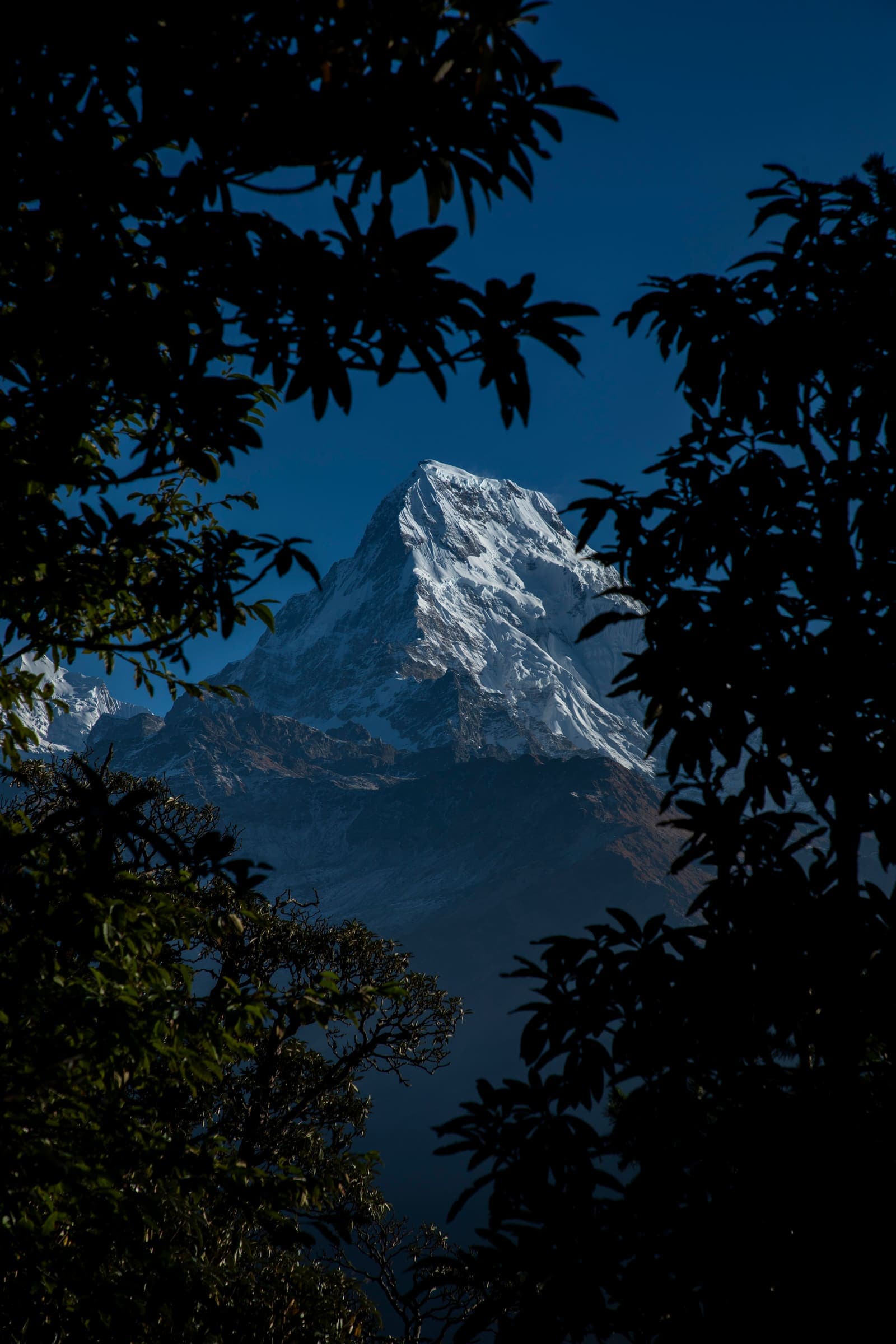
North-central Nepal massif. Teahouse valleys host some of the Himalaya's busiest long treks, with logistics still thinly documented in English.
12 records
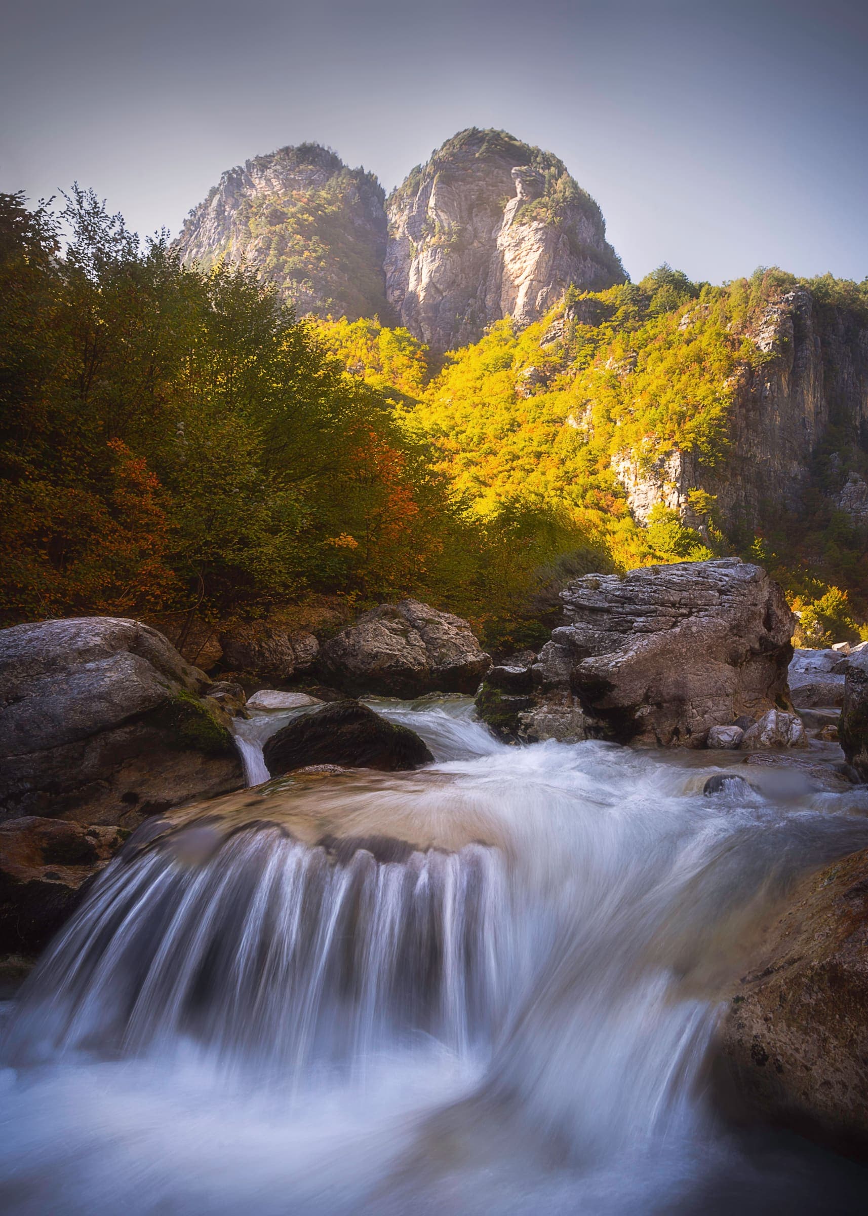
Southern Europe · Albania
Peaks of the Balkans
Cross-border circuit through Albania, Kosovo, and Montenegro. Mapping is thin and a permit is required to cross the borders on foot.
12 records
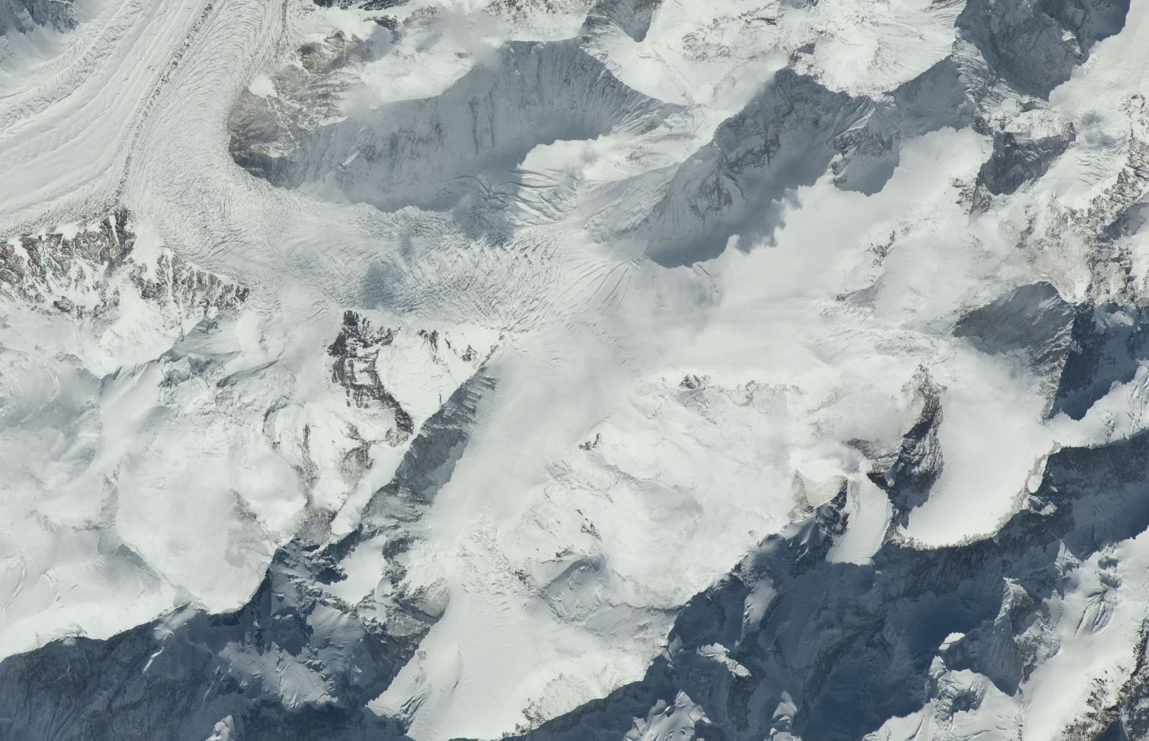
Southern Asia · Pakistan
Gilgit-Baltistan
The Karakoram of northern Pakistan — Askole to Concordia and K2 Base Camp on the Baltoro, inside Central Karakoram National Park. Not summit climbing.
10 records
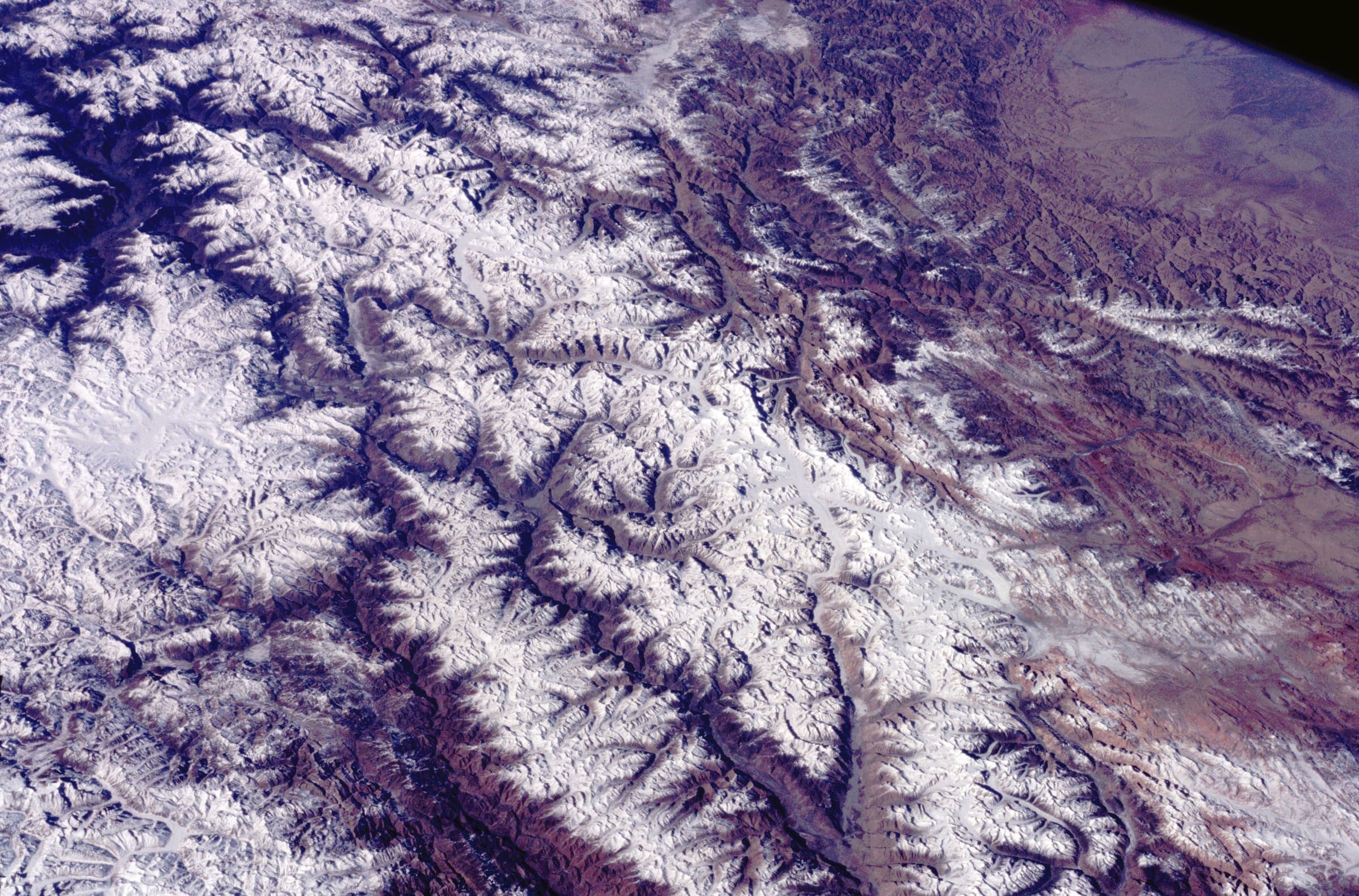
Southern Asia · India
Ladakh
High Trans-Himalayan desert — Wave I-5 marquee records and provisional-listed traverses. Markha Valley (Hemis NP fee), Kang Yatse approach (not the summit), Stok La, and Likir La (high pass NE of Likir, not the Sham Valley walk); Stok Kangri is a closed Mountain Guide, not a trail. Traverses: Stok to Tsomoriri, Pang to Tsomoriri (Rupshu), Sarchu to Pukthal Gompa, and Sko Koh valley lakes.
8 records
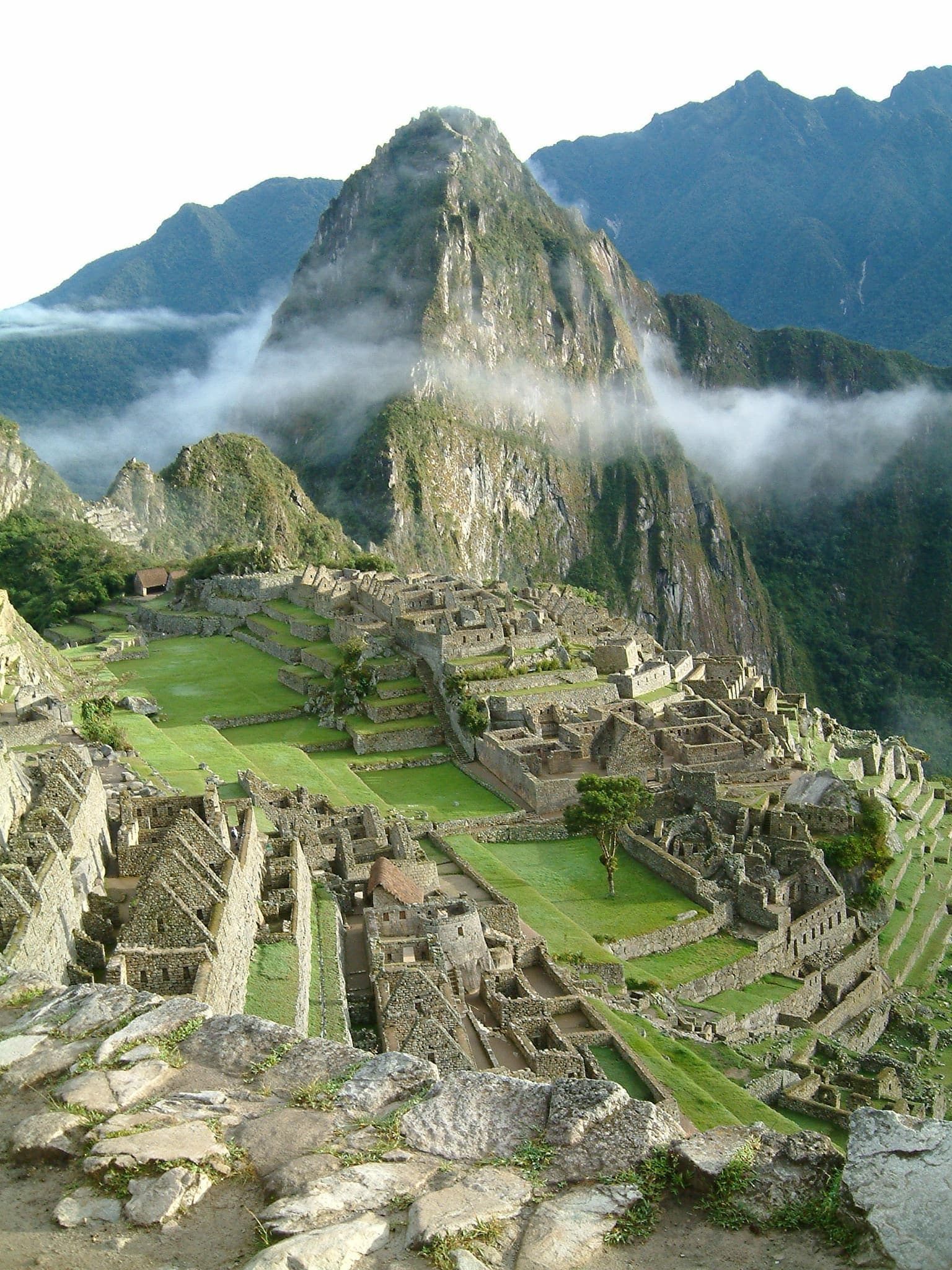
South America · Peru
Cusco
The Andean heartland of the former Inca empire — high passes, cloud forest, and Inca stonework leading to Machu Picchu.
8 records
When a trail is verified
Optional notes to your inbox. The site works without them. Water, hazards, and permit warnings are never locked.